Hello everyone!
I’m hope you have been enjoying the past few days above normal temps. It’s been a super nice break from our mostly chilly weather. But all good things must come to an end as rainy-cool weather returns Wednesday night.
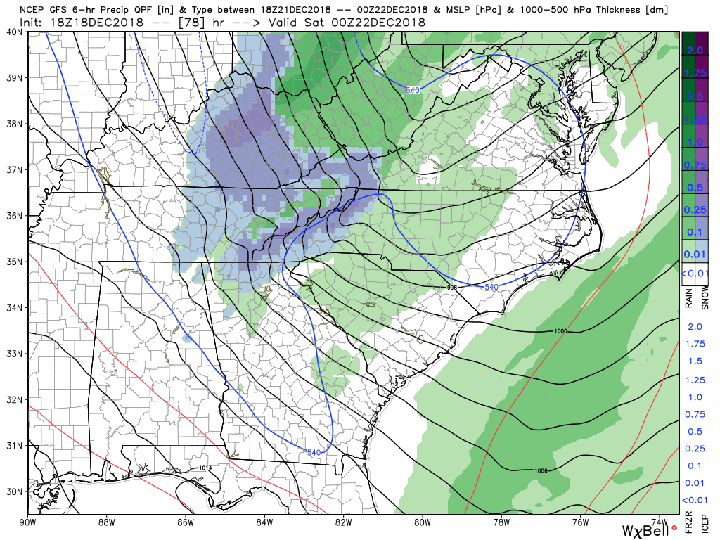
An abnormally deep trough is going to develop in the eastern US that will trigger the development of several areas of low pressure that will track across GA. The first one will bring rain starting Wednesday night into the first half of Thursday. Then as the trough really deepens another area of low pressure will develop and just reinforce the rain action that will last into Friday. There isn’t a whole lot of cold air with this system but conditions on the back side will be close to support some snow flakes mainly across the higher elevations of GA. This would be for the late Friday afternoon time period towards sunset. The posted image is what the precipitation type could look like come 7pm Friday. Now I’m not expecting anything major for us here is Dahlonega but a few flakes are possible. Elevations above 2,500 feet, which means basically along and north of the spine of the apps, could get some minor accumulation.
Either way everything clears out late Friday night leaving us with a pretty decent weekend.
Here are the details…
Wednesday…mostly cloudy with a high in the low 50s.
Wednesday night…rain likely with a low in the low to mid 40s.
Thursday…rain likely with a high in the upper 40s.
Thursday night…rain likely with a low in the low 40s.
Friday…showers likely possibly changing to flurries by late afternoon especially in the higher elevations. Becoming windy late afternoon. Temps steady in the low 40s and falling late.
Friday night…snow flurries possible early then clearing and windy at times. Low near 30.
Saturday and Sunday look to be mostly sunny with highs near 50.
Thanks for reading!
Jason