What better way to lead into a pattern change than a sunset like this.

What better way to lead into a pattern change than a sunset like this.
Line of heavy showers and thunder is approaching from the west. Movement is due east. Nothing severe at this moment but the winds could get Gusty.
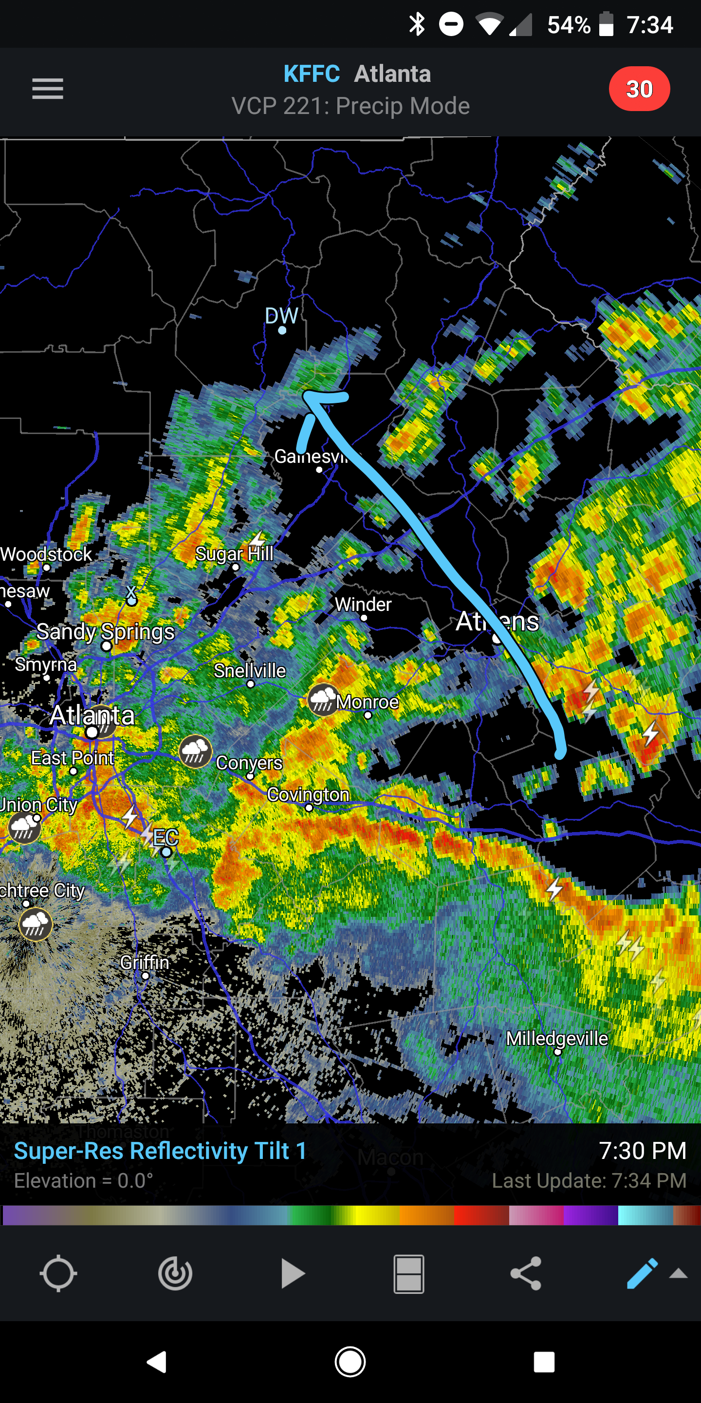
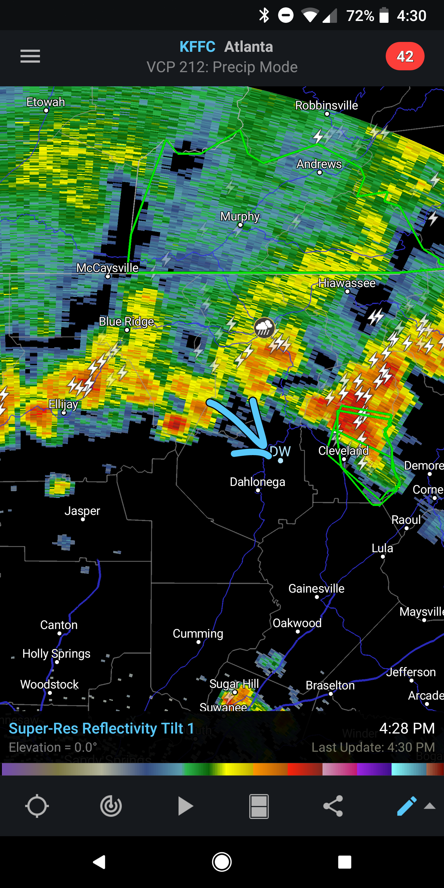
This self sustaining thunderstorm complex has managed to defy short range model guidance and has held together into north GA. There are no signs yet of it weakening which puts it’s trajectory across our area near or shortly after midnight.
That’s going to be the story of the next few days with concentrated periods of thunderstorm following pieces of upper level enery tracking in the NW upper level flow. Updates will be frequent as development warrants.
The bulk of the rain has moved off to the SE so just a few more light showers to go. I’m not expecting anything else tonight.
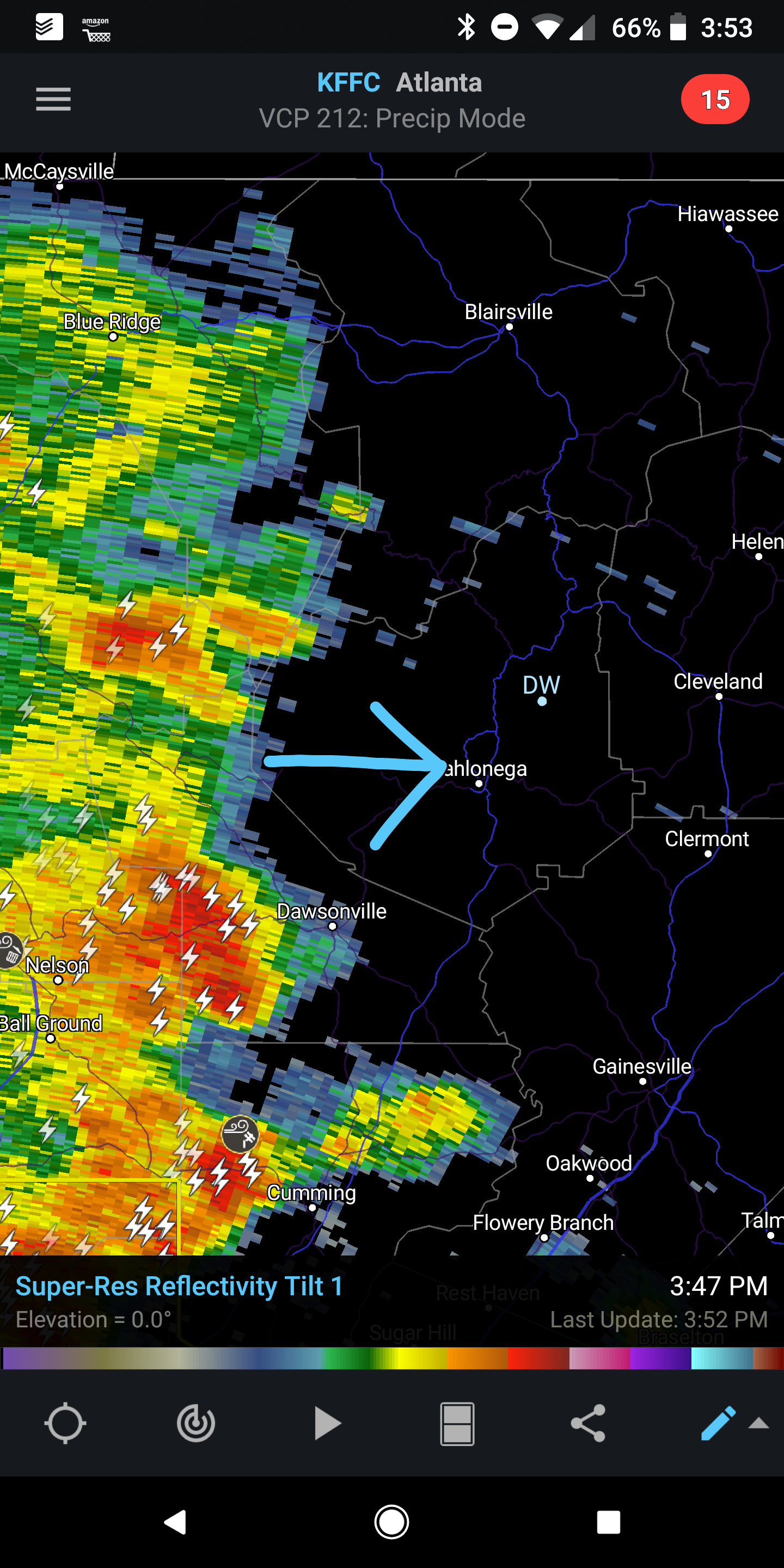
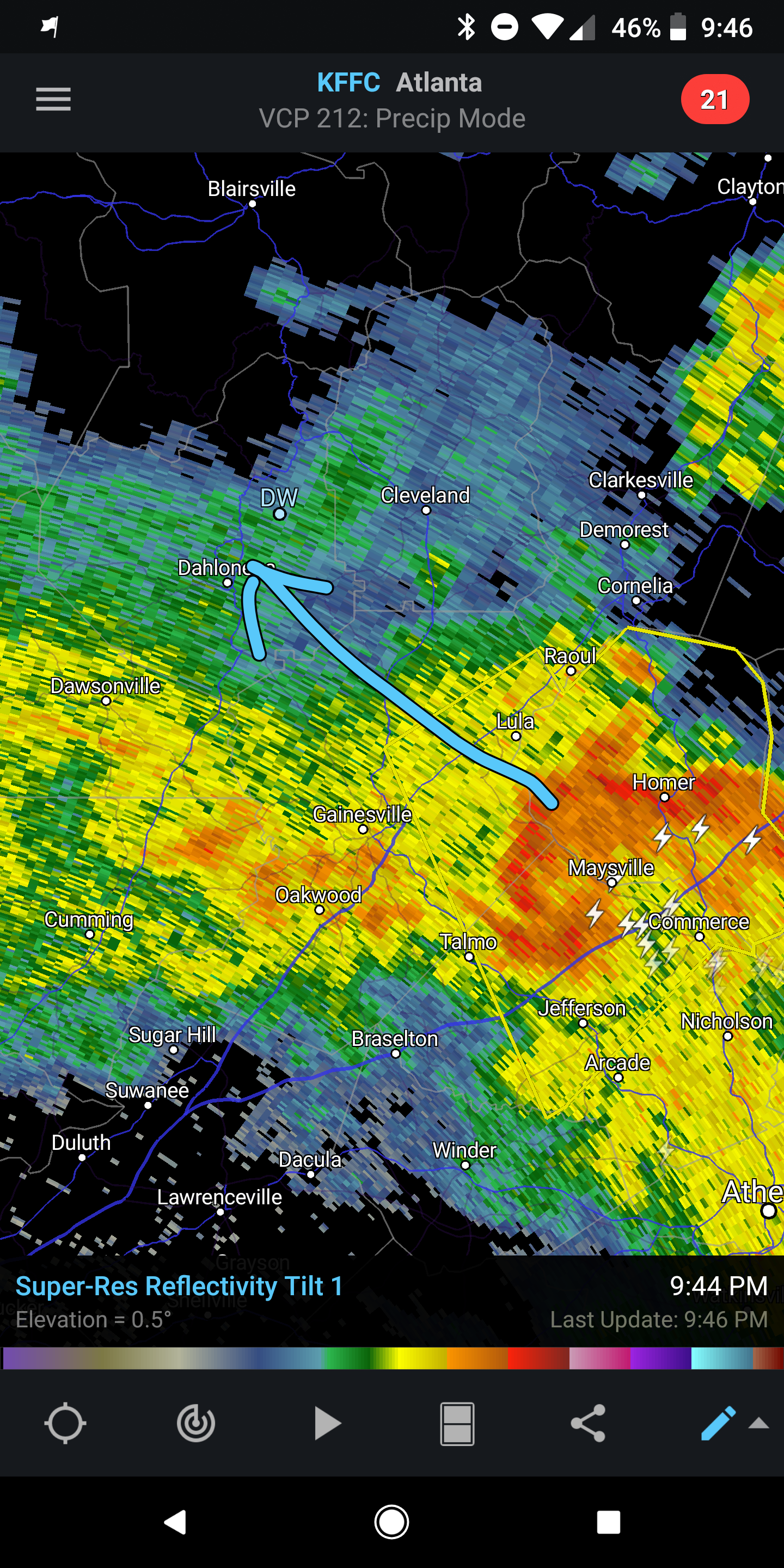
Line of heavy showers and thunder is approaching from the NW. Movement is towards the SE.
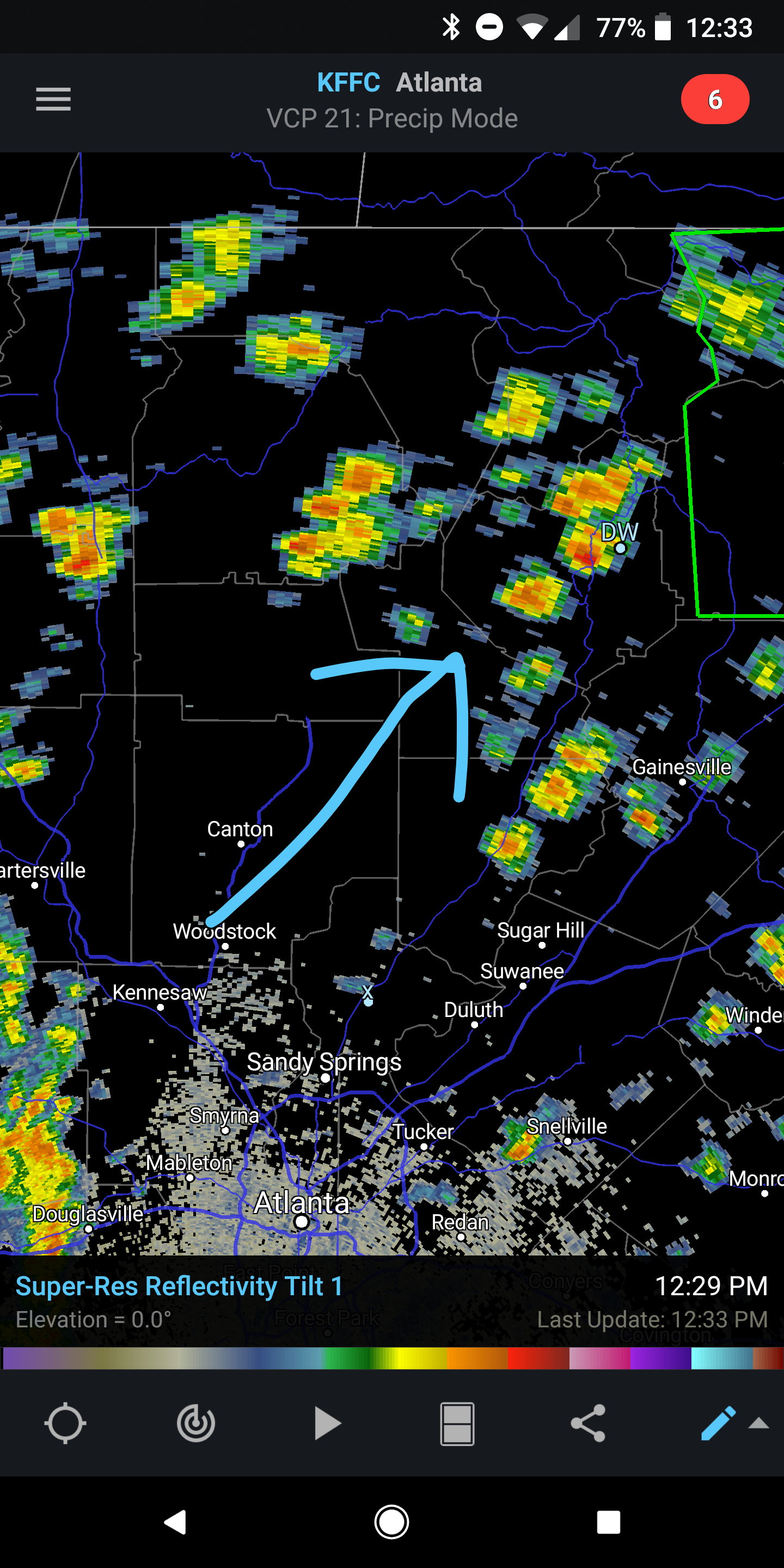
Another day and more rain. Expect on and off shower action the rest of the afternoon. Movement is towards the NE. Rain chances decrease to 50 percent on Thursday and 30 percent on Friday.
And yet more heavy rain is poised to move in while areas to our west continue to get pounded also.
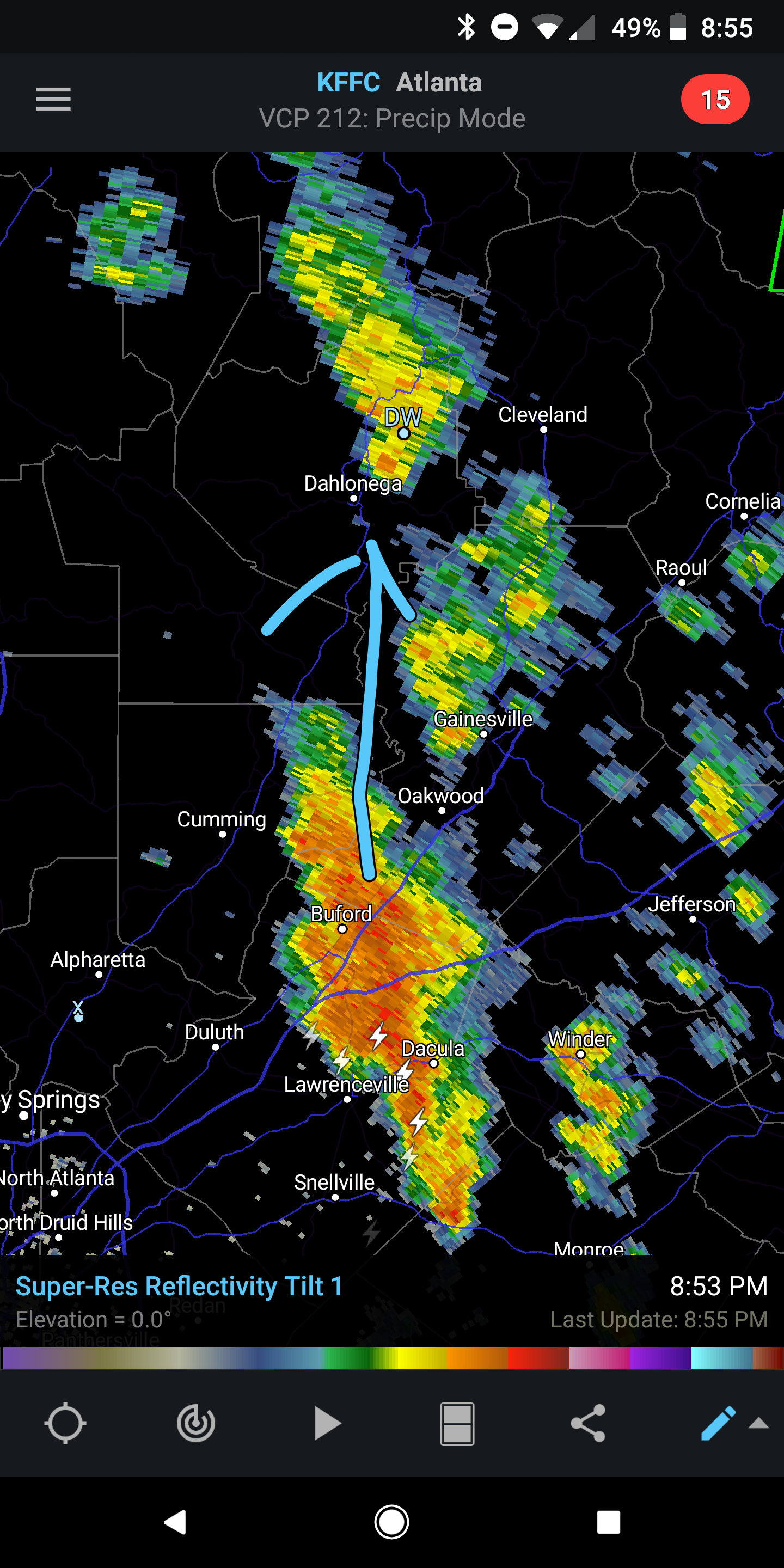
And yet the heavy showers continue. More is headed this direction. As Alberto moves up through Western TN expect rain coverage to decrease as we head into Wednesday and Thursday
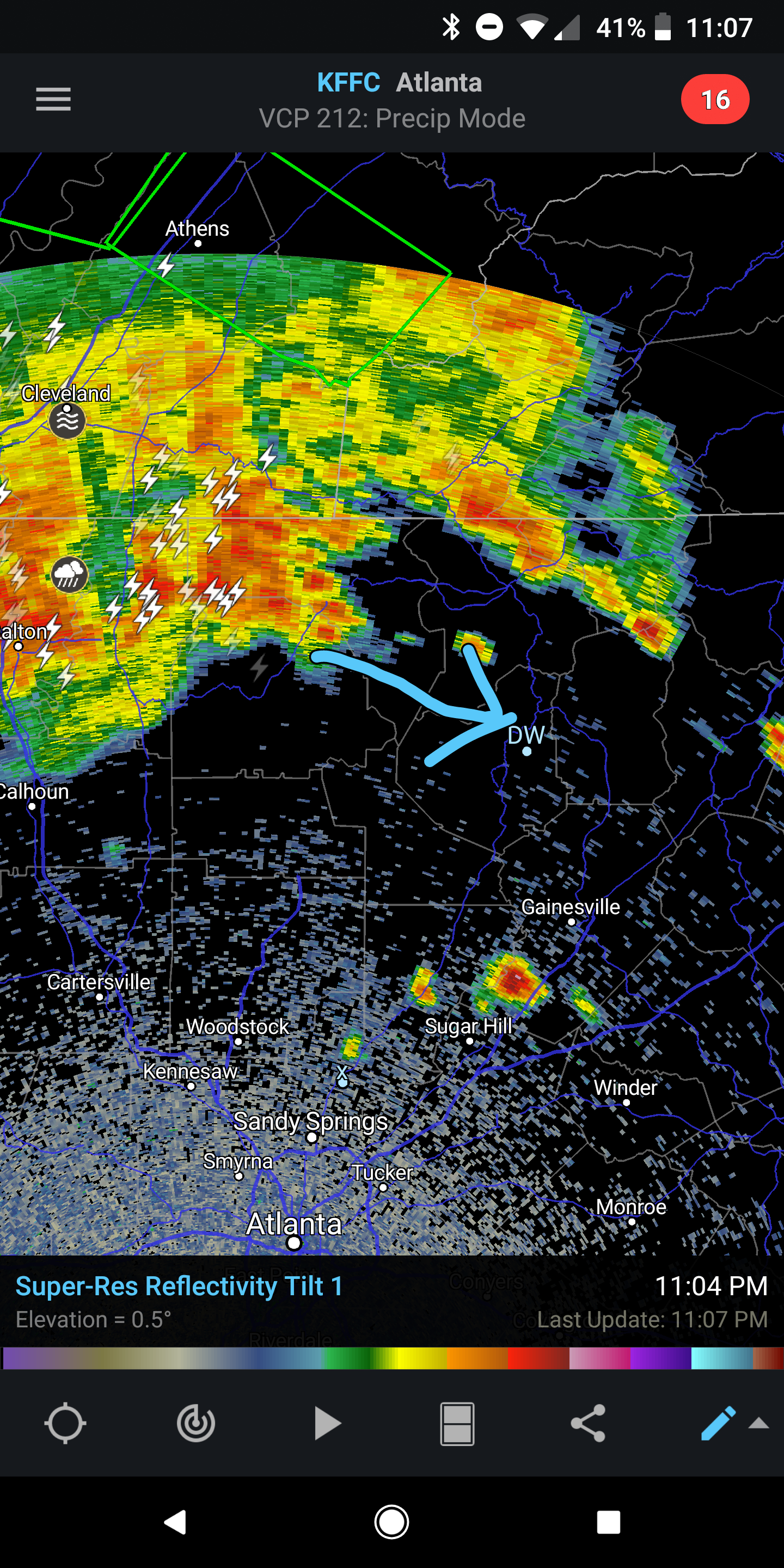
Very heavy rain and Gusty winds possible over the next hour and a half or so as a severe thunderstorm approaches from the SE.
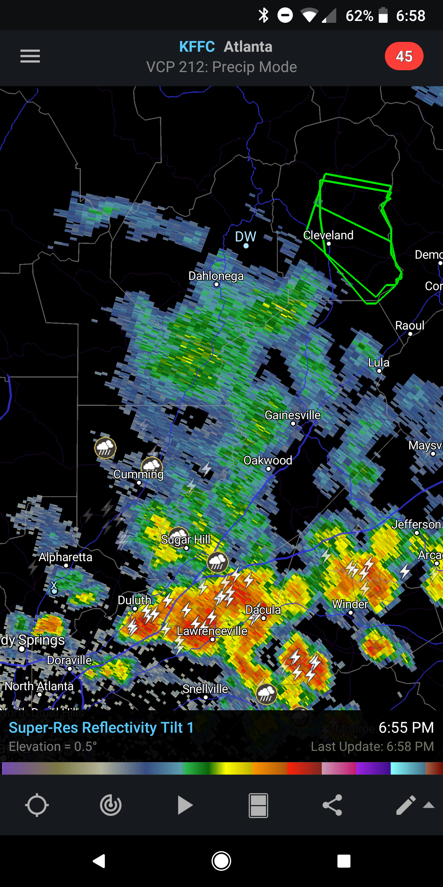
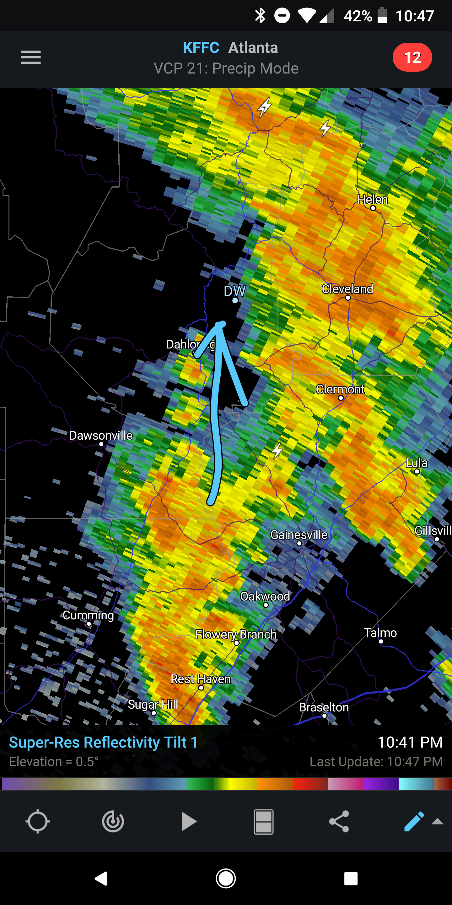
Plenty of heavy showers are approaching from the SE. These are outer spiral bands associated with Alberto. Expect periods of heavy rains with possibly some strong winds at times. Main band should be here 10pm (ish). Give or take an hour. This trend should continue tomorrow as Alberto tracks north across eastern Alabama.