Good Thursday morning everyone!
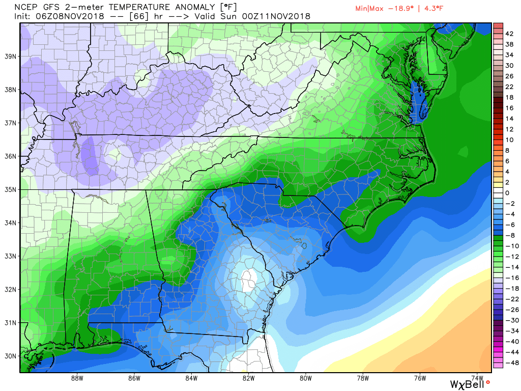
Our cloudy and wet pattern continues. As a strong cold front approaches from the NW we are in store for multiple rain chances through Friday. The good news is things will clear out Friday night as much colder air arrives. Highs on Saturday will likely be 10-15 degrees below normal for this time of the year. And even colder air is slated to arrive either Tuesday or Wednesday. With that in mind here are the details…
Thursday – cloudy with showers likely. High near 60.
Friday…cloudy with rain likely and highs in the upper 50s.
Saturday…clearing towards sunrise and colder with highs in the low to mid 50s.
Sunday…increasing clouds with a slight chance of a late afternoon sprinkle. High in the low 50s.
Monday…rain returns as we are stuck with an east wind wedge holding temps in the 40s.
Tuesday…rain ending towards noon with temps falling during the afternoon in the 40s.
By Wednesday we may be looking at our first widespread 20s for lows.
Thanks for reading!
Jason