Good Thursday afternoon everyone!
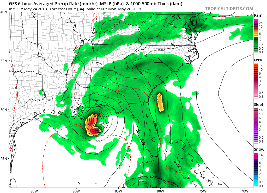
Warm and humid is the name of the game the past few weeks and that story line will continue through at least the middle of next week. Our very soupy airmass combined with weak upper level impulses will continue our above normal rain chances. Also on tap is the likely development of our first tropical storm. Those of you vacationing along the Gulf coast need to watch this closely as the impact will start to be felt Sunday into Sunday night. Exact track and landfall potential is still up in the air so all that needs to be know right now is that it will affect the Gulf coast. And that tropical system will also increase our rain chances (if that’s possible) on Sunday and possibly into Monday as it may stall out across the SouthEast.
With all this in mind here is the forecast…
Today…Thursday…partly cloudy and humid with a 50 percent chance of pop up showers or a storm. High in the low 80s.
Friday and Saturday…more of the same with at least a 60 percent chance of showers or thunderstorms.
Sunday…mostly cloudy with an 80 percent chance of showers and possibly a thunderstorm.
Rinse and repeat as we head into Monday through Wednesday of next week.
Now buried within all this will be periods of enhanced rain action as small scale upper level features come into play. These types of features are difficult to track beyond 24 hours so there could be rainy starts to any of these days as well which I’ll do my best to stay on top of ahead of time.
Jason
What are some recommended things to do in the Lumpkin, White, Union, Rabun, Habersham areas. We’ll be there this weekend. Safe to hike to Waterfalls? Suggestions?
Desoto Falls
Hemlock Falls
Gonna be a wet weekend.
Thanks Jason. Garden is sorta muddy now 😂
You’re gonna gripe either way !
Was hoping to camp for the long weekend but maybe not! Thanks Jason for the update!
Was hoping to camp for the long weekend but maybe not! Thanks Jason for the update!
Definitely looks tropical
😢😩 Nick Jefferson
Loving all this rain. Good for the crops.